


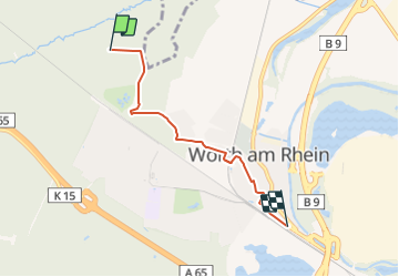

6.5 km | 9.9 km-effort

Tous les sentiers balisés d’Europe GUIDE+


FREE GPS app for hiking
 SityTrail
IGN / Geographical institutes
SityTrail World
The world is yours!
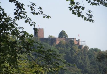
Trail On foot of 3.8 km to be discovered at Rhineland-Palatinate, Landkreis Germersheim, Wörth am Rhein. This trail is proposed by SityTrail - itinéraires balisés pédestres.
Trail created by Pfälzerwald-Verein.
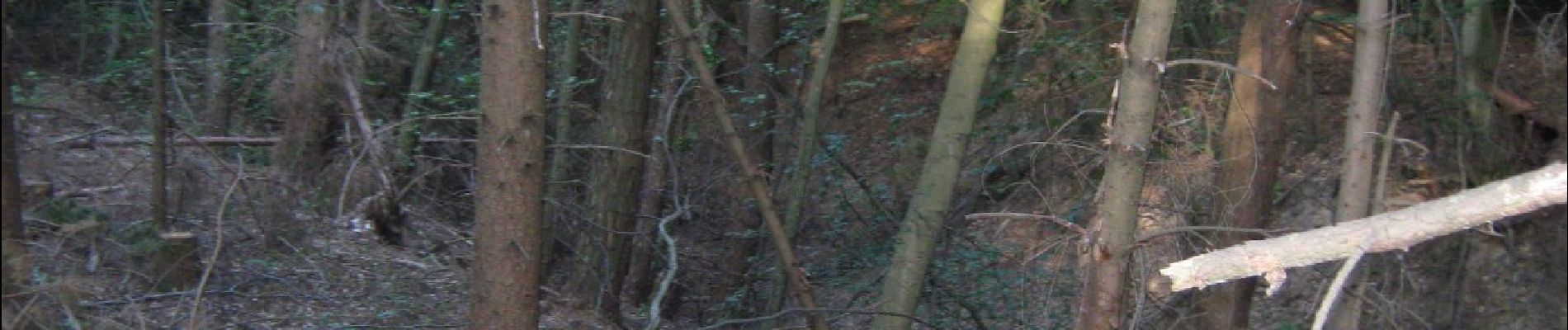
Diese Variante wurde aufgehoben. Erkennbar an den übermalten Wegmarkierungen. Leider ist die Löschung nicht immer konsequent durchgeführt worden. Es sind mehrere Markierungen noch zu sehen.
Symbol: Schwarzer Punkt auf weißem Balken
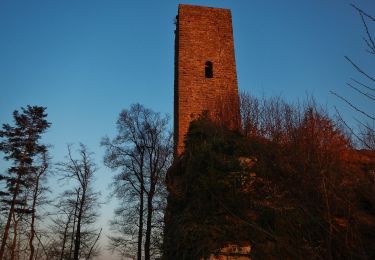
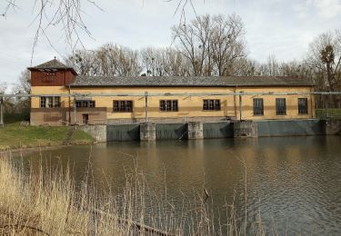
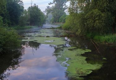
 - Photo 1")
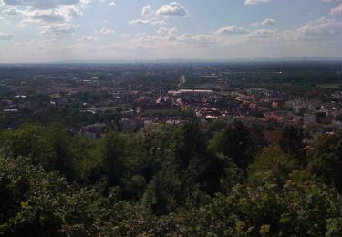
 - Photo 2")
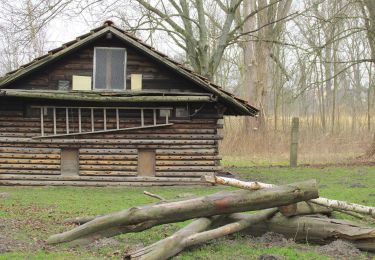
 - Photo 3")
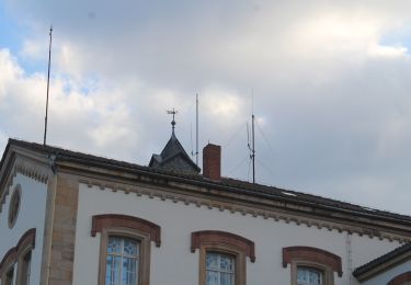
 - Photo 4")
 - Photo 5")
 - Photo 6")
 - Photo 7")
 - Photo 8")
 - Photo 9")
On foot
On foot
On foot

On foot
On foot

On foot
On foot
On foot